
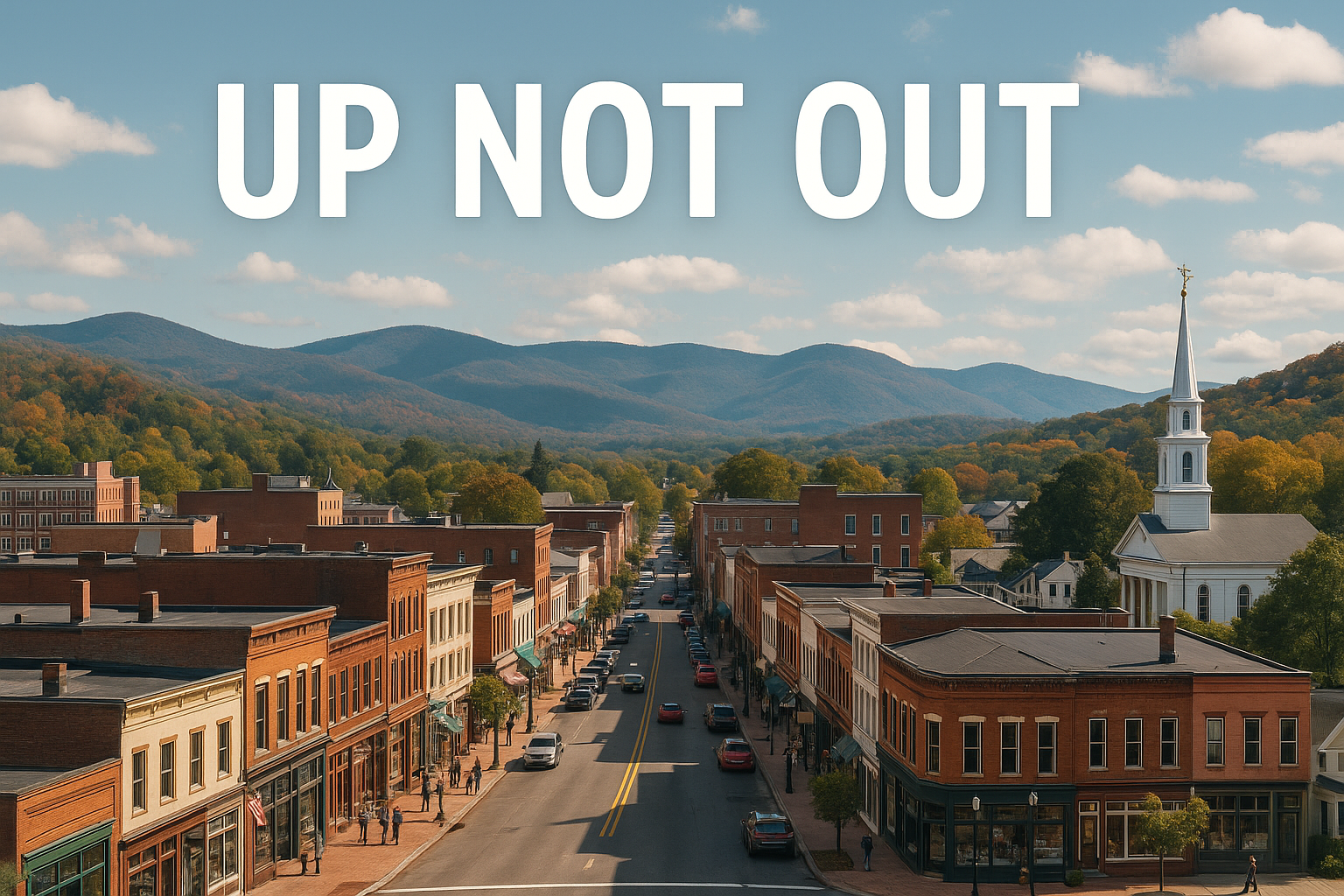
Up not out
Grow the City.
Save the Land.
Stop the sprawl.
Strategic City and Town Planning Consulting

Stop the sprawl. Grow, Up Not Out.
Stop the sprawl. Grow, Up Not Out.
Cities and towns across the U.S. are grappling with more sprawl, more traffic, and less of what we value.
Up Not Out was built to simplify urban planning, help cities grow smarter, and conserve wild land.
Up Not Out is built on one principle:
Cities thrive and conservation works when we modernize how cities grow.
Cities maintain defunct policies preventing growth and forcing sprawl:
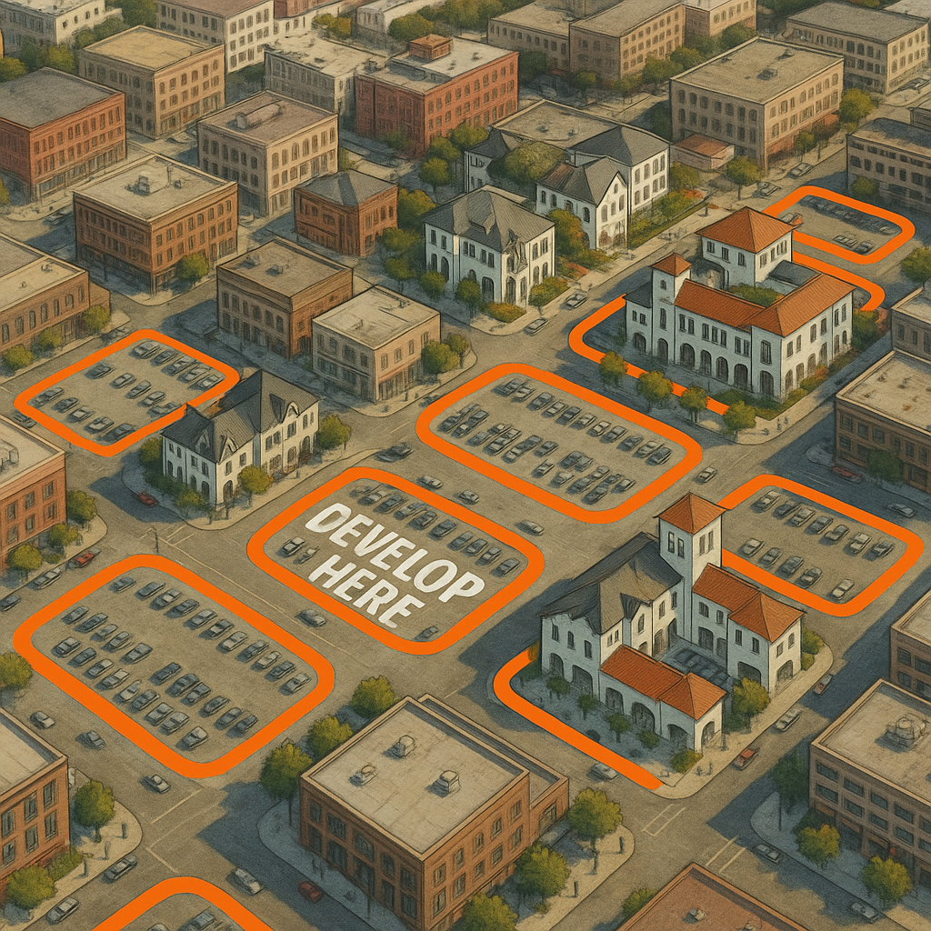
Mandating excessive parking on every lot, wasting up to 50% of space on dead asphalt.
Limiting building height to extreme minimums, preventing walkable, space-efficient growth.
Outlawing mixed-use development and housing downtown, forcing single-use, car-dependent sprawl.
We are your strategic partner for preventing sprawl.
Why is your downtown covered in surface parking lots? Your city requires it.
Stop the sprawl. Help your city grow up, not out.
Up Not Out provides urban planning and land use consulting services. We are your strategic partner for preventing wasteful sprawl.
-
Identify and reform outdated land use regulations that limit growth, increase costs, and drive sprawl.
Parking requirement reform
Mixed-use and density updates
Streamlining approvals and permitting
Removing barriers to infill development
-
Help cities plan for growth in a way that strengthens communities while reducing outward sprawl.
Smart growth strategies
Downtown and corridor development planning
Growth boundary and land conservation alignment
Scenario-based planning for future development
-
Use data and mapping tools to clearly show how development patterns, regulations, and land use decisions impact outcomes.
Parcel and zoning analysis
Development capacity mapping
Buildout and density modeling
Visual maps for decision-makers and public engagement
-
Translate complex planning concepts into clear, compelling visuals for leaders, boards, and the public.
Before and after development scenarios
Graphics explaining zoning impacts
Presentation materials for public meetings
Clear storytelling around policy changes
-
Align growth patterns to protect land, reduce sprawl, and strengthen regional economies.
Growth boundary and wildlife corridor planning
Conservation prioritization
Regional land use coordination
Identifying high-risk sprawl corridors